2018 – Part 17a – How Scenic can it be?
Our drive to Melbourne was around 500 km and would have us stopping several times throughout the day. How scenic were these stops?
Initially, they started modestly on the first part of our drive.
Mt. Gambier to Warrnambool
First up, a map of our plan for the day: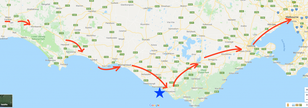
From this map, we are moving west to east (left to right) starting in Mt. Gambier, and ending Melbourne the same day. In total it’s around 500 km, of which around 190km is this portion of the drive, or the first three arrows. The blue star is the main attraction we were heading for during our drive.
Returning to Victoria
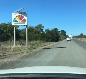
Upon re-entering the state of Victoria, not only were we greeted with construction, but the fire warning signs now had “Code Red” as the most extreme situation. I’m not sure which would be more concerning, “Catastrophic” or “Code Red”.
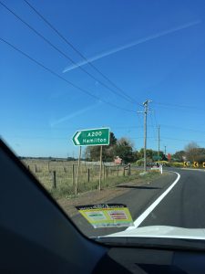
One of the towns we drove through the night before was Hamilton. As Amber is from Hamilton (the one in Ontario) she did enjoy sending this picture to her parents and joking that we saw the sign for Hamilton and we were ‘close’ by.
Overall the drive to Warrnambool was quite pleasant. It was a Friday, and we were headed towards the the more populated areas, so traffic was light heading in our direction. Along the way the route proceeded to have us get closer to the ocean, and soon enough at the crest of a hill we could spot the water in the distance. Before we arrived at Port Fairy, there was a “Scenic Lookout” sign. We turned off the highway and headed due south.
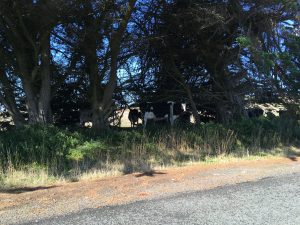
Initially, Amber wasn’t a believer in their being a lookout as we drove a country road that had cattle on both sides of the road:
However, very quickly we navigated a turn and like a scene from a movie, the coast appeared (I cannot recall if I turned to her at that point, and joked “Ta Da!”). At the car park we arrived to be the second vehicle at the lookout.
The Crags
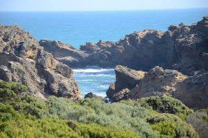
Seriously, this is the name given to this lookout west of Port Fairy. There was a memorial for a flight crew of an Avro Anson that crashed on an island south of the view during World War II.
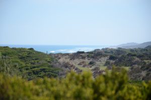
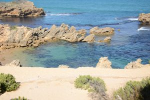
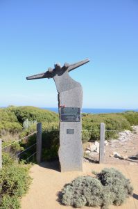 From the car park there was a walkway to a viewing platform. The view, given it was a clear day, was spectacular. In this area the erosion from the ocean’s waves results in an uneven fashion. What the pictures do not capture was the constant wind coming from the ocean while we were there. And it wasn’t a light breeze either.

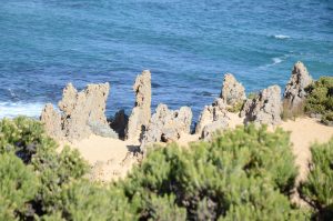
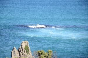 Even the ground underneath the ocean wasn’t level. This provided areas where the waves would suddenly move in different directions.
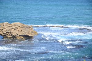
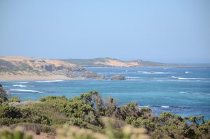
Just as striking as the ocean, was how quickly the land was filled with rolling hills for the farms.
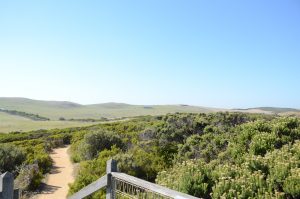 During the whole time we had the lookout all to ourselves, as the second vehicle’s occupants were already heading back to their car when we arrived, and another couple arrived as we were leaving the lookout (Sounds almost like shift work, one vehicle at a time). From the lookout it was a short drive into Warrnambool where we stopped for a late lunch at a uniquely Aussie restaurant, red rooster.
Lunch!
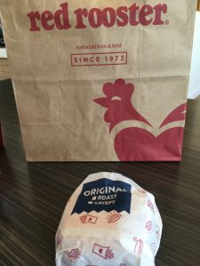 Given the great distance we covered the day before, we wanted to try something other than McDonald’s. The place reminded us of KFC restaurants given their focus is chicken. Although I only had a sandwich, I easily helped Amber finish her meal as her quarter chicken came with 3 sides, french fries, tater tots (yes more potatoes), and coleslaw salad. Her sides were massive, as between the two of us we couldn’t finish them. Now filled, we returned to the car, made a pitstop for tea and an ice cream cone (yes, from McDonald’s) and left town. Soon after we left Warrnambool we made the turn onto the Great Ocean Road.
Read more about our trip by clicking here.
