2018 – Part 39 – Crossing New Zealand’s North Island
Our short time in New Zealand had three goals; visit Hobbiton, go to a winery (or two), and visit an aquarium. Little did I know that we would see so much more.
The Plan
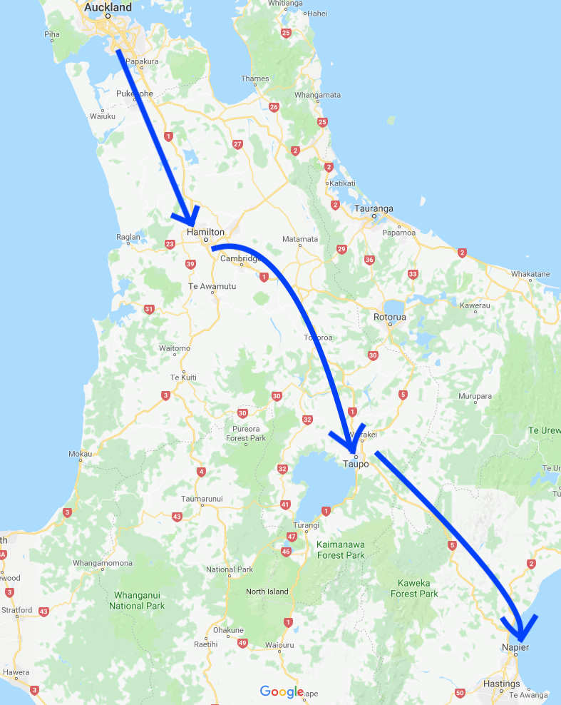
Landing at midnight prevented us from taking in any scenery until we checked out of our hotel in Hamilton. Our goal was Napier, located on the eastern shores of New Zealand’s North Island.
From the map above, we completed the first arrow just to get to our hotel in Hamilton. We’d be covering the next two arrows in this post.
Hamilton to Taupo
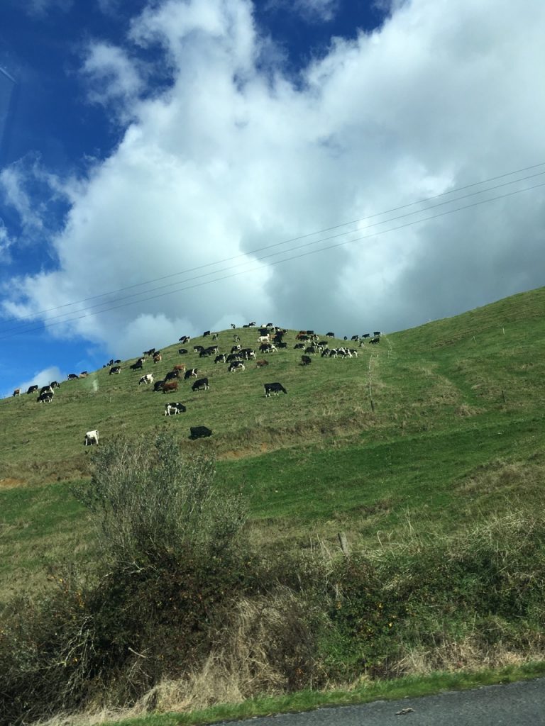
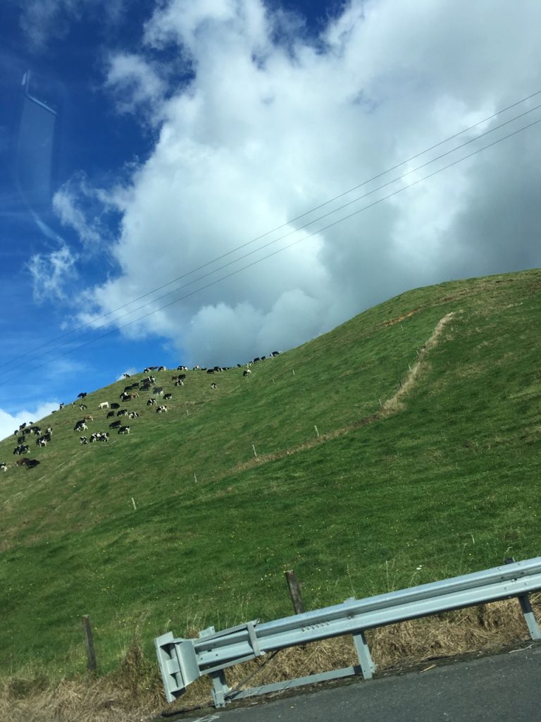
This portion of the trip had us crossing farmland, broken up by the occasional town. Unlike prairies in central North America, the farm land was filled with rolling hills. Seeing cows, and sheep on these slopes was drastically different to Canada, as well as what we had seen during our first two weeks in Australia:
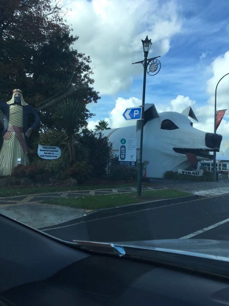
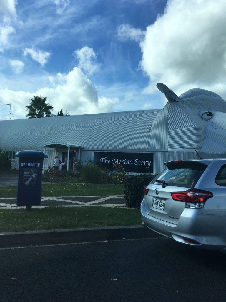
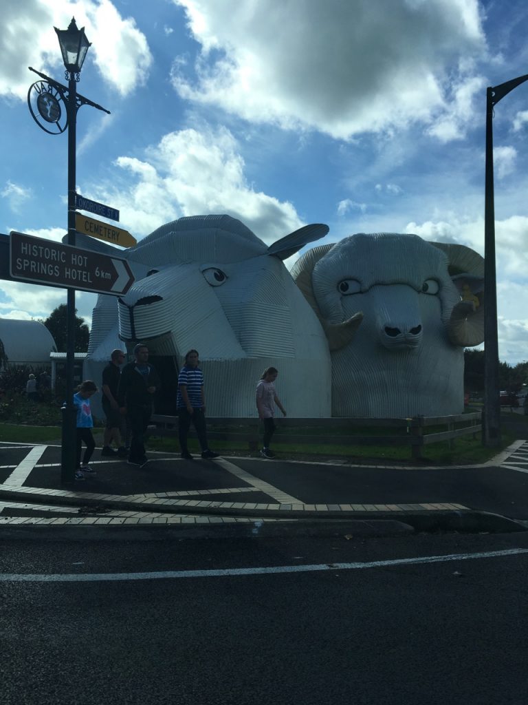
We crossed several small towns. Given this was the main road, and New Zealand’s population is not great enough to demand divided highways throughout the country, these towns gave us a break from all the farmland. One that we crossed, Tirau, loved their sheet metal and these pictures capture their most creature buildings in the town:
Huka Falls
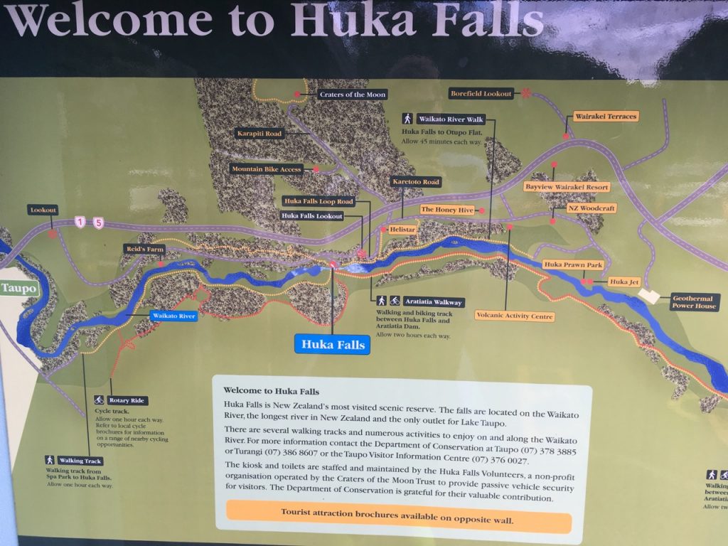
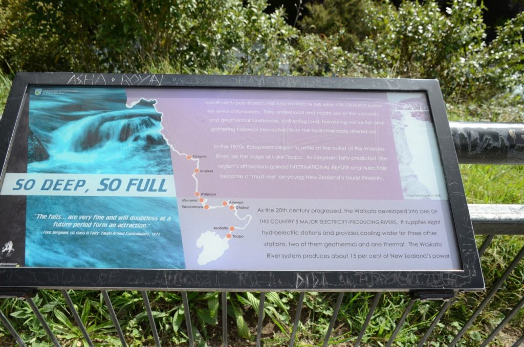
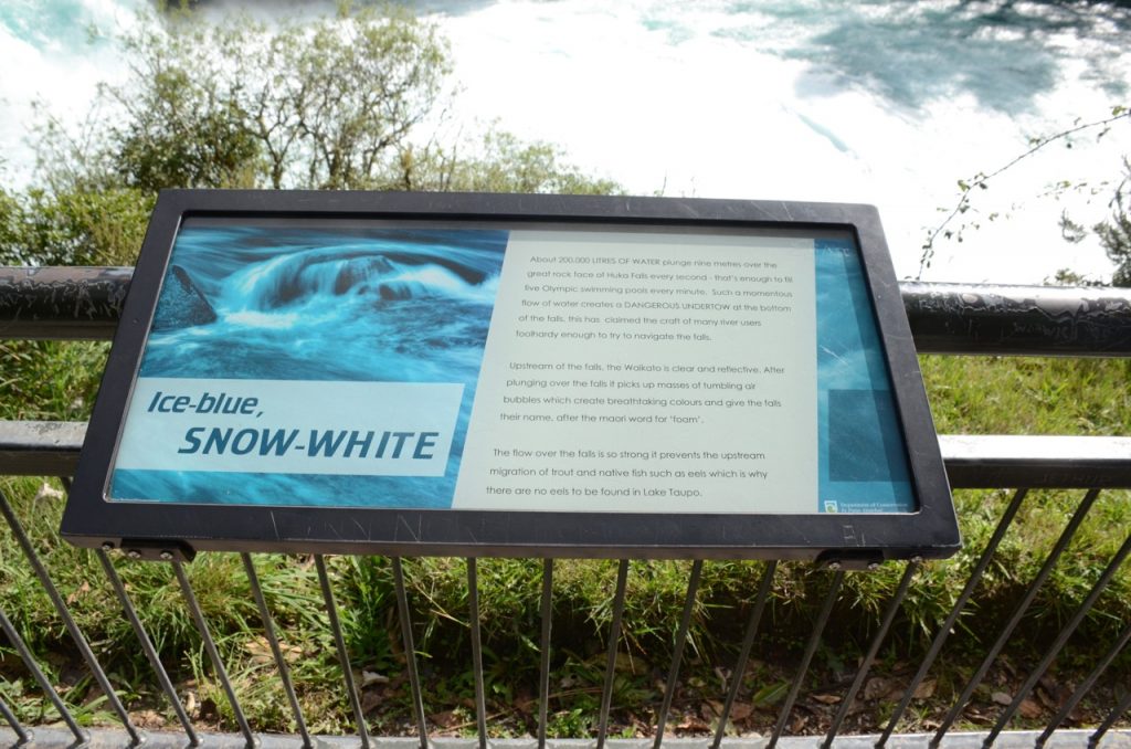
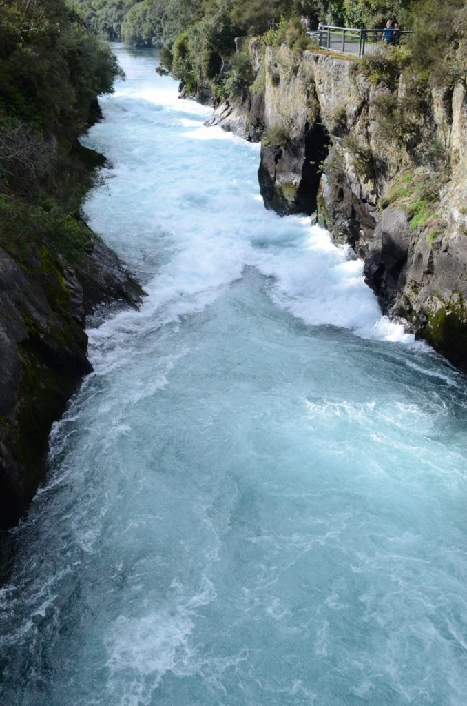
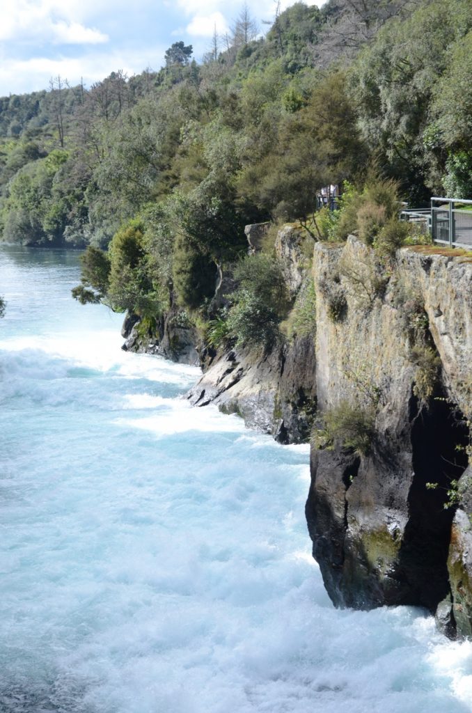
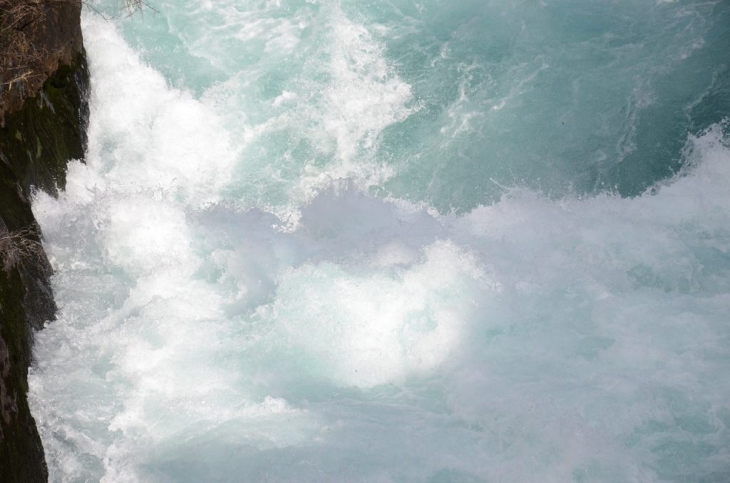
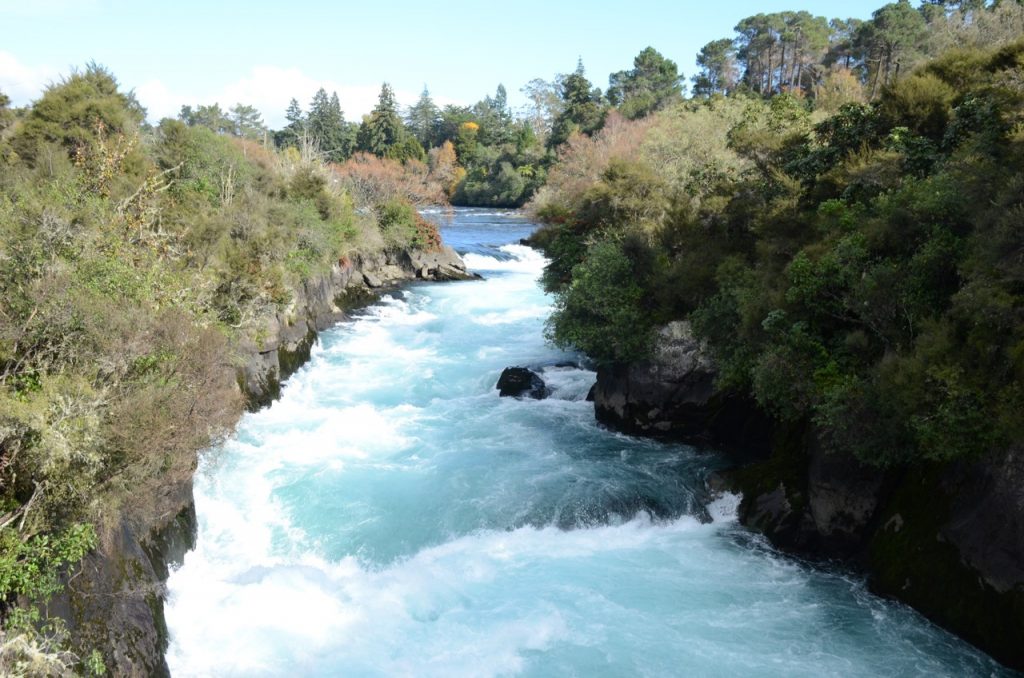
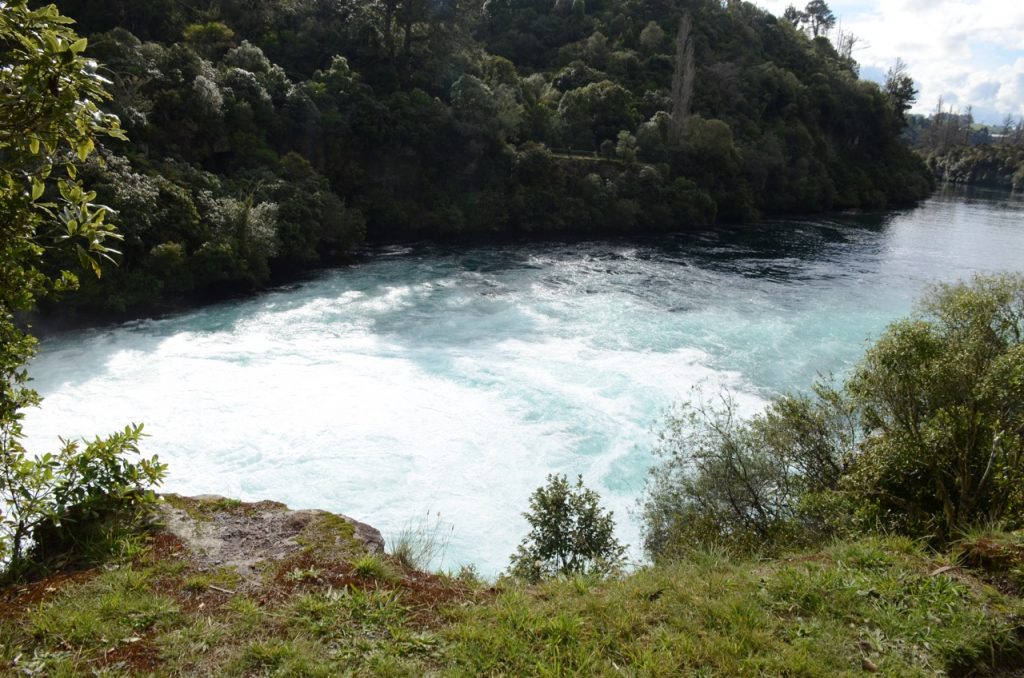
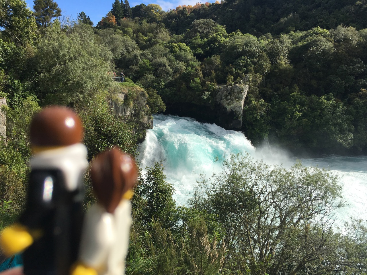
As we approached Taupo, several sightseeing items popped up, particularly Craters of the Moon, and Huka Falls. We chose Huka Falls first and found out that this is one of New Zealand’s most popular tourist attractions. The crowds were definitely smaller than tourist spots in Australia, however foreshadowed what the definition of crowd in New Zealand vs. Australia, or almost anywhere else in the world (hint: it felt like a dozen people equals a crowd). We did a short walk around to take in the falls. The colour of the water was spectacular and the falls were hypnotic to watch.
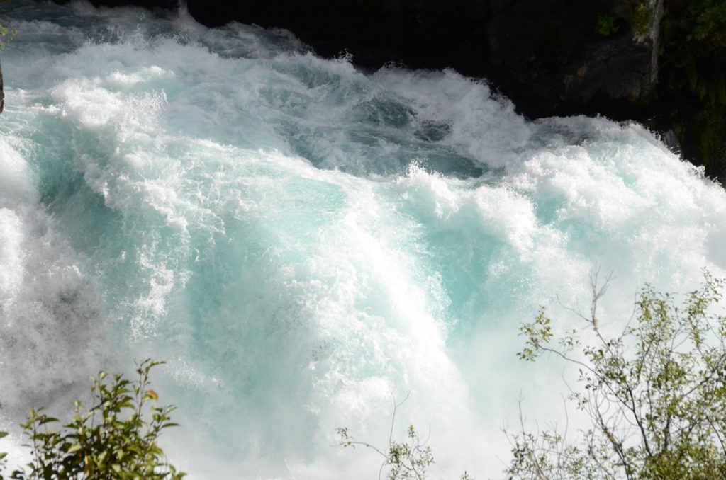
Some more pictures from Huka Falls:
After our visit to the Falls we headed into Taupo where we grabbed a quick lunch and then continued our drive to Napier.
Taupo to Napier
Immediately after leaving Taupo we were greeted with a unique sign “No fuel for the next 135 km”. I did not realize that we were taking a sparsely populated road. The sign wasn’t of any concern for us as we had plenty of fuel.
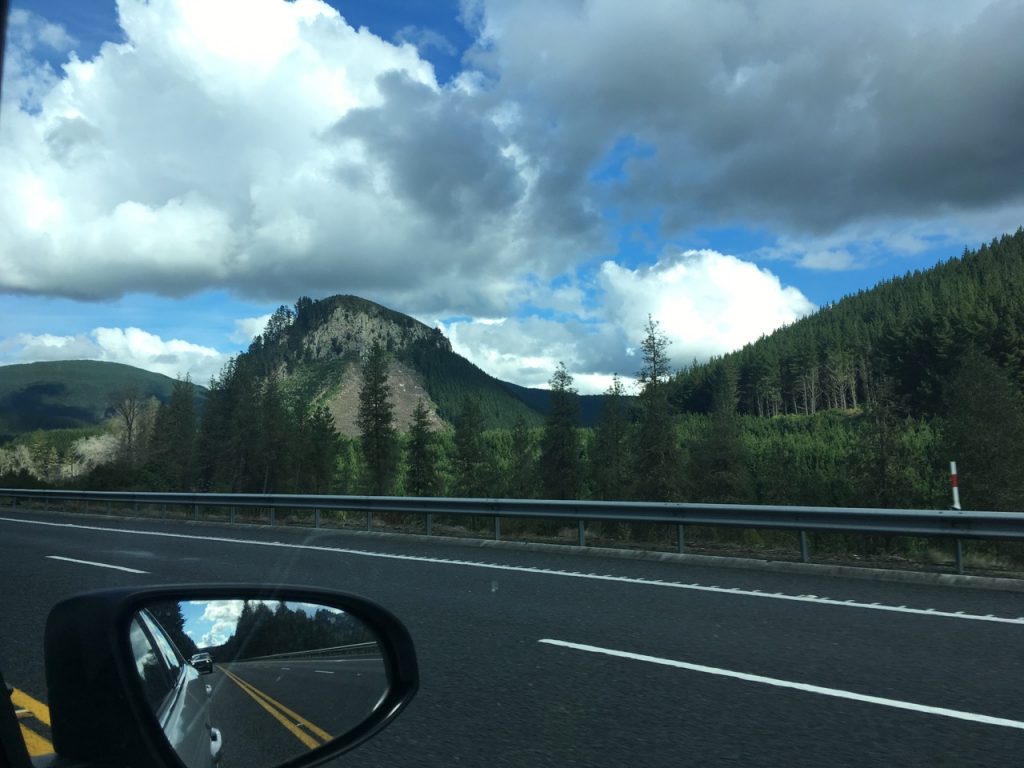
The scenery quickly changed on this road. We passed several farmed forests — nature doesn’t have perfectly spaced evergreens that are the same age on the hillsides.
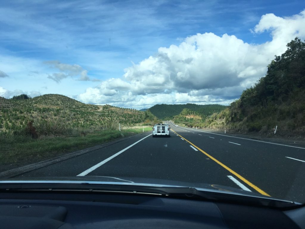
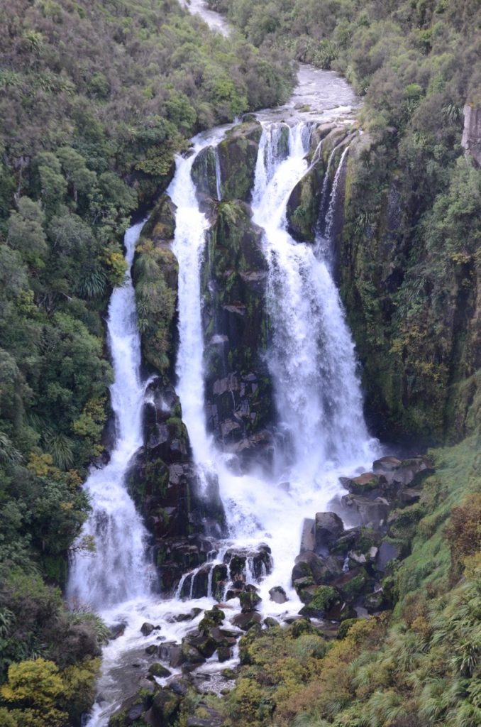
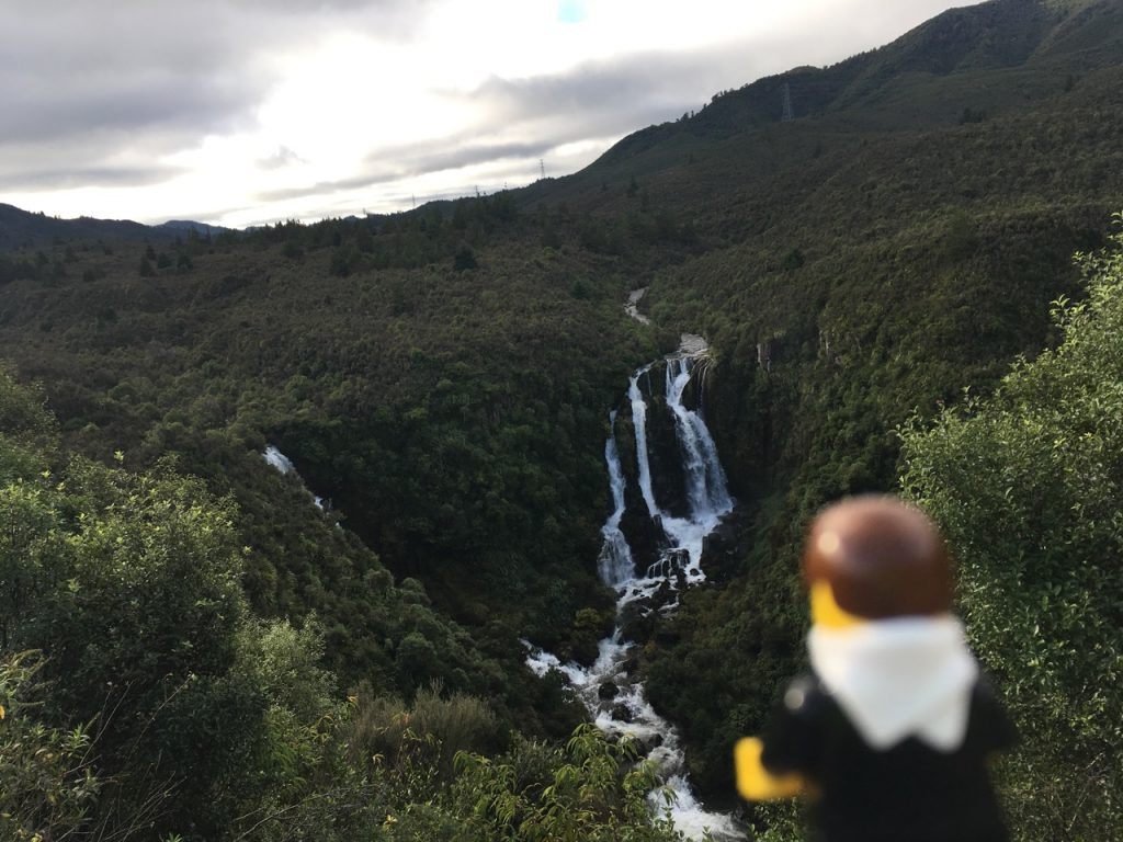
This drive was enjoyable. As we continued heading towards Napier we came across a sign that said “Lookout”. Nothing more to the roadsign. I took the chance and after a short drive up to a parking lot this is what greeted us upon exiting the car:
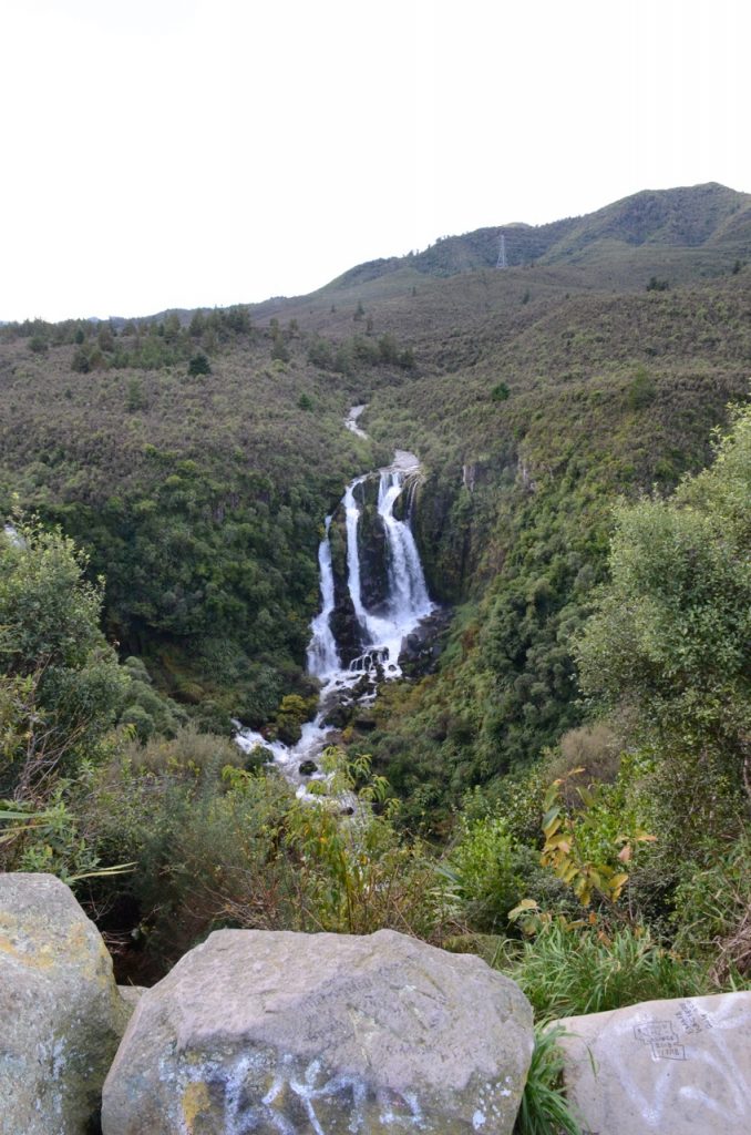
Wow. We were the only ones here at Waipunga Falls. No other vehicles, no other people. We had this whole vista to ourselves. Wow. This was such a low key place that it wasn’t until we commented on the falls during check-in did we find out its name . (Yes, Google maps would have done the same thing, however having a New Zealander say “Oh, you stopped at Waipunga Falls on your drive to Taupo. Yes, it’s alright.” makes it feel more unique). A few more pictures before we continued on our drive:
Almost immediately after the Falls the terrain started to change. The road became hilly and was a pleasure to drive. I’ll get the video posted to best show the changing scenery as we crossed to the eastern shore of New Zealand. I snapped this at a rest stop:
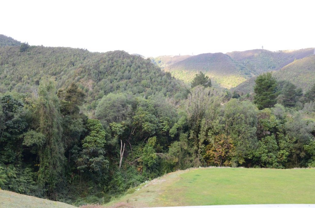
The scenery from this section was breathtaking. The link for the video will be here once I get it uploaded. Once over the hills, the road followed a river valley to the coast. The rest of the drive was flat and soon enough we had returned to civilization and entered Napier. Google maps effortlessly directed us to our hotel for the next two nights.
The difference in scale, from Australia to New Zealand couldn’t be more stark by crossing New Zealand’s North Island in one manageable day. Given the weather cooperated, we had a bright and mostly sunny day helped to make the drive enjoyable.
Read more about our trip by clicking here.
